Perth has two water problems, not one. A river that floods a narrow corridor, and a water table that rises every winter under much of the coastal plain.
Talk it throughRising Damp Perth assesses and treats damp across the Perth metropolitan area.
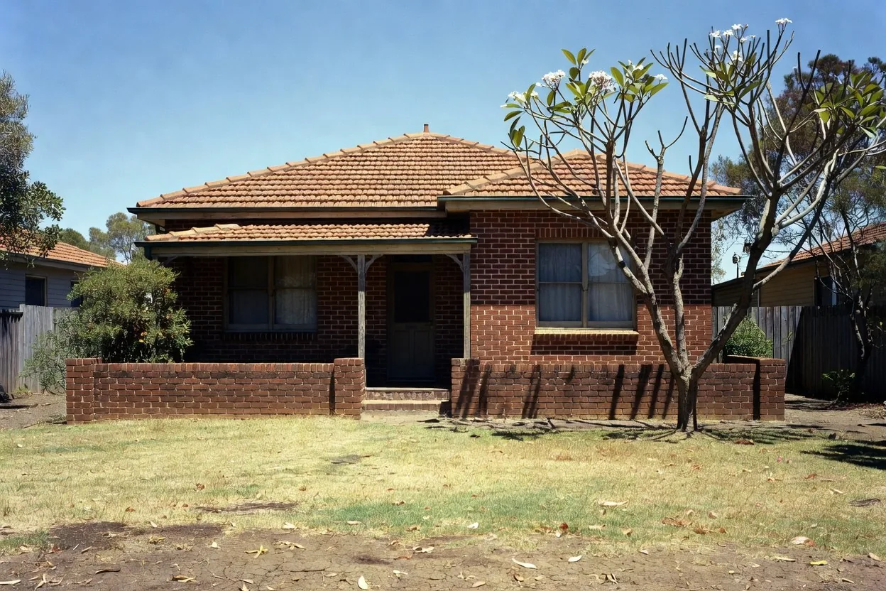
Damp damage in Perth comes from two separate sources, not one. A flood event along the river and a water table that rises every winter leave marks that look identical on a wall, and they need different answers — so the first job is working out which one is on yours.
| Swan River floodplain | Coastal plain groundwater | |
|---|---|---|
| Where | A defined corridor along the Swan, Canning and their tributaries | Most of the Swan Coastal Plain, wherever the sand is shallow over the water table |
| When | After a flood event, then for years afterwards | Every winter, on a cycle |
| Feels like | A one-off that never quite went away | A problem that comes back every August and seems to heal every February |
| Mapped? | Yes — officially, by DWER | No property-level map. It is a regional condition |
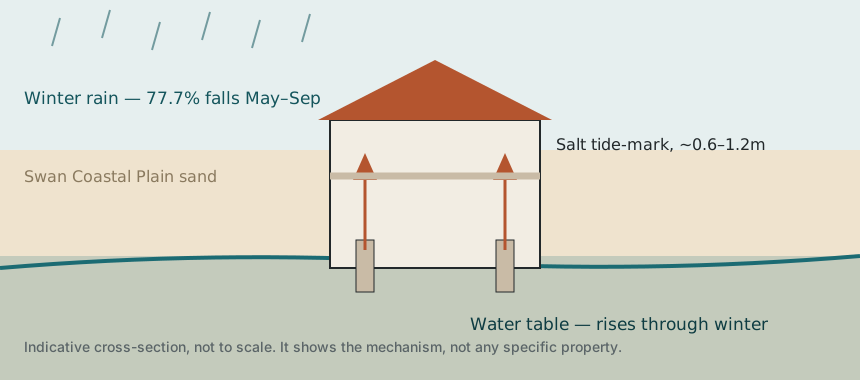
Around 77.7% of Perth's rain falls between May and September. That water soaks into the sand and recharges the superficial aquifer beneath the coastal plain — an aquifer that sits about a metre below the surface over shallow clays, and much deeper over the sand ridges. Where it is shallow, the soil around a footing saturates, and a porous wall standing in wet sand behaves like a wick.
That is why the damage compounds. The wall takes up water for four months and then dries for eight, leaving its salt behind each time. Owners repaint in January and the tide-mark is back by August, which is not bad luck — it is the cycle.
Where groundwater sits close to the surface, the wall is not drawing from an occasional wetting. It is drawing from a reservoir that is always there. That does not make the problem unfixable, but it does mean a treatment has to interrupt the path rather than dry the wall out and hope. It also means the wall will have been wet for a long time before anyone noticed, so salt can be well established in the plaster and the plaster has to come off as part of the job rather than be painted over at the end.
Will the damp come back if the water table is high? A properly installed course interrupts the path, so it does not simply return with the next wet winter. What does need doing is the salt-loaded plaster — leave that on and the wall keeps showing marks long after the moisture path is dealt with.
The Department of Water and Environmental Regulation maps the floodplain of the Swan from Fremantle up to Walyunga National Park, along with its tributaries — Bennett Brook, Blackadder Creek, Ellen Brook, the Helena River, Henley Brook, Jane Brook, St Leonards Creek, Susannah Brook and Southern River. If a property is affected it is classified as one of two things, and the difference matters:
Floodway — the part of the 1 in 100 (1% AEP) floodplain where obstructive development is not acceptable, because it would push flood levels up for someone upstream.
Flood fringe — the rest of the floodplain, where development may be acceptable subject to building conditions that give adequate flood protection.
Guildford is the clearest case in the metropolitan area: roughly half the total area of the suburb is floodplain. Bassendean publishes its own flood-affected area information sheet for the same reason.
Flood classification is property-specific, it has planning and insurance consequences, and it is maintained by the regulator. A tradesperson's website is the wrong place to get it, and a redrawn map on one is worse than useless because it looks authoritative.
Check your address against the official source: the Western Australian Government's floodplain mapping tool. For site-specific advice DWER takes enquiries at [email protected], and your local government handles building controls for major river flooding.
The visible damage after an inundation dries in weeks. The soil under and around the house does not. In a poorly ventilated subfloor that ground can stay wet for a very long time, feeding moisture into every course of masonry it touches — the same capillary action as ordinary rising damp, with a much larger reservoir behind it. Floodwater also carries dissolved salts and contaminants into the wall, which is why flood-legacy damp is often saltier and more destructive than the everyday kind.
An even horizontal line, roughly 600mm to 1.2m above the floor, on a ground-floor wall. It marks where the water stops climbing and starts evaporating. Condensation does not produce a level line like this.
Salts left behind as the water evaporates. On limestone it often looks like a fine bloom; on brick it can be gritty. Brushing it off works until the next winter.
Usually a sign of a non-breathable coating applied over a wall that needs to dry outward. The coating is not failing — it is doing its job and trapping the moisture behind it.
Salt crystallisation forcing the surface apart. It is usually well advanced before anyone calls it damp.
Bore water. Perth's reticulation draws iron-rich groundwater, and where it hits a wall the iron stains it. It is not rising damp, it is cosmetic, and it is worth knowing before you pay to treat the wrong thing.
A smell that comes back each winter points to a seasonal source, such as ground water or condensation, rather than a leak that runs all year.
The order matters. Injecting a damp course into a wall whose real problem is a paved garden bed is money spent on the wrong thing, which is why the assessment comes first and the quote comes after.
Moisture meter readings at height intervals up the wall, an external check of ground levels, paving and reticulation, and a look at what coatings are already on the wall.
Rising damp, lateral damp through a retaining or buried wall, a plumbing or reticulation leak, condensation, or bore-water staining. They look alike and cost very differently.
If paving has buried the damp course or a garden bed sits against the wall, that is corrected before any chemical course is considered. Injecting around a bridge does nothing.
A chemical course injected into the mortar line, sized to the wall material.
Contaminated render removed and replaced with a salt-retarding, breathable system. Skipping this is why treated walls come back.
A treated wall dries over months, not days. Anyone promising a finished wall in a fortnight is telling you what you want to hear.
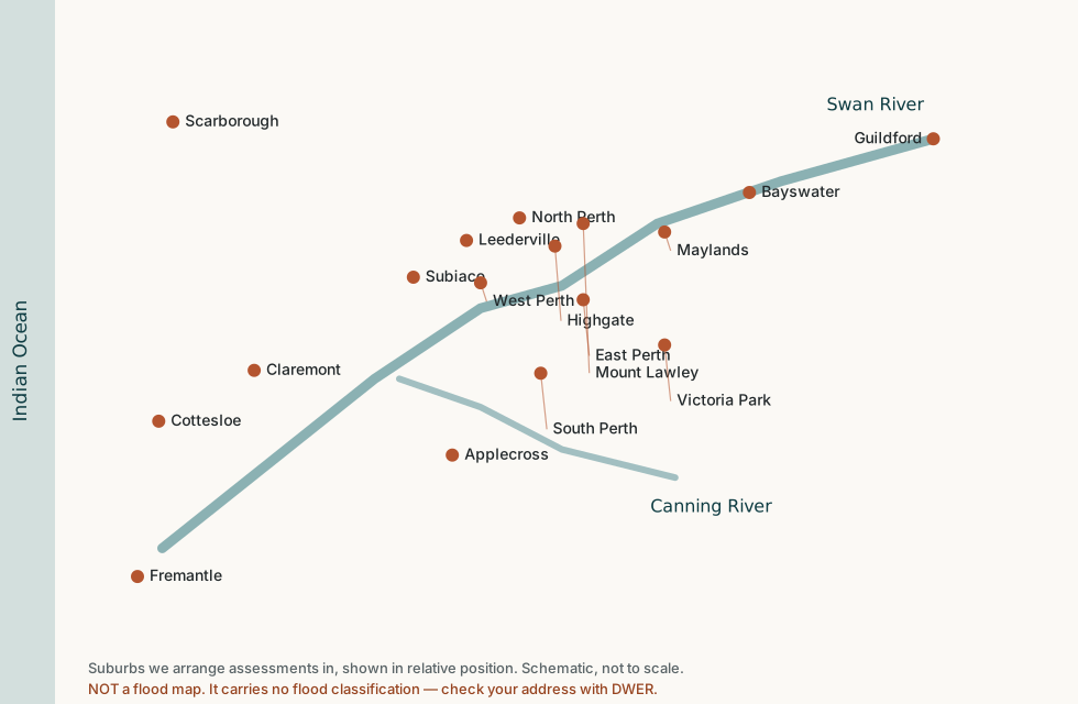
We carry out assessments across the Perth metropolitan area, including:
 Rising Damp Perth