We find out why the wall is wet before we quote to fix it.
Rising Damp Perth assesses and treats rising and lateral damp in Perth homes. One specialist takes the job from the assessment to the finish, on time and without handing it around.
We exist because rising damp is one of the few building problems an ordinary owner cannot name. People can see a wet band on a wall and have no idea whether to ring a plumber, a painter, a bricklayer or a builder. If the first call is to a painter, the paint can come off again the following winter.
Perth's older suburbs are largely built from what was quarried out of the ground beneath them. Limestone cut from local quarries went into Fremantle, Cottesloe and Claremont; double brick took over from about the 1900s. Both are porous, both sit on sand, and an older wall may have been laid with no damp-proof course.
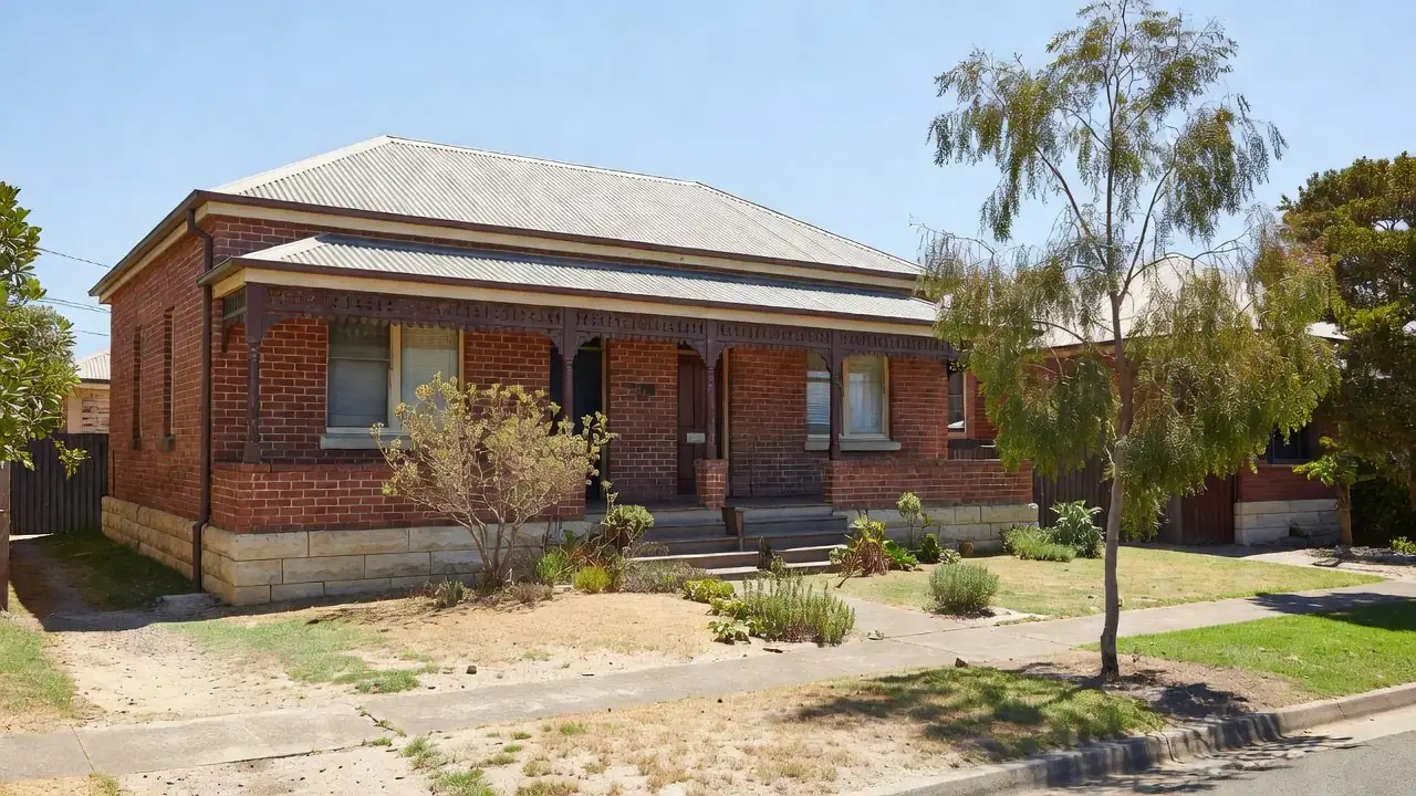
What has changed most recently is not the ground — it is what has been built on it. Across the older suburbs, back gardens have been subdivided, second dwellings put up behind existing homes, and driveways run down the side of houses that never had one. Each of those can raise or re-level the ground against a wall, and paving laid above the old damp course bridges it completely. So when damp appears on a wall that coped for decades, the first question is what has been built against it.
Sand drains beautifully until it does not. In a Perth winter the ground under the lower river and coastal streets can stay wet for months, and a wall standing in damp sand behaves like a wick. How close the water table sits under one address is a question for the WA Government's Perth Groundwater Map, not for a suburb name. The moisture climbs until the rate it evaporates from the wall face matches the rate it arrives, which is what sets the height of the tide-mark.
Salt is the second half of it. Groundwater carries dissolved salts up into the wall and leaves them behind when the water evaporates. On the coast, more salt arrives on the wind. Those crystals expand as they form, and that is what blows render off limestone and crumbles the face of a brick — the water moves it, but the salt does the damage.
We do not publish reviews we did not receive, before-and-after photographs that are not ours, or a fixed price for a wall nobody has looked at. Every figure on this site is a range, and the range is honest about how wide it is.
Western Australia has no damp proofing licence. Registration with the Building Services Board applies only to building work valued at $20,000 or more, and drainage work needs a licensed plumber. Where a job needs either, that part is done by someone who holds it. The licence page sets out what to check instead.
Each suburb page has a small table of ground facts. The method is the same for every suburb, so it is written once, here. Taken 14 October 2026. Heights: one reading at the centre of the suburb and eight on a ring 250 m out, from the Copernicus 90 m elevation model. Where a ring point falls on water it has no ground height, so it is left out and the table says how many. Distances: straight lines from the centre of the suburb on OpenStreetMap, to the nearest ocean coastline, to the mapped line of the Swan or Canning River and to the Perth CBD. The river line runs down the middle of the water, so the bank is closer than the figure. A coast or river more than 30 km away is left out. Street and park names are from OpenStreetMap, inside the suburb boundary.
A 90 m model cannot see the level of a garden bed against your wall, and it cannot show the water table under one house. So no suburb page draws either conclusion from it. The assessment measures the ground on site, and the WA Government's Perth Groundwater Map estimates the water table for one address.
 Rising Damp Perth