Rising Damp Perth assesses damp in Guildford, WA 6055, and we meter the wall before we quote.
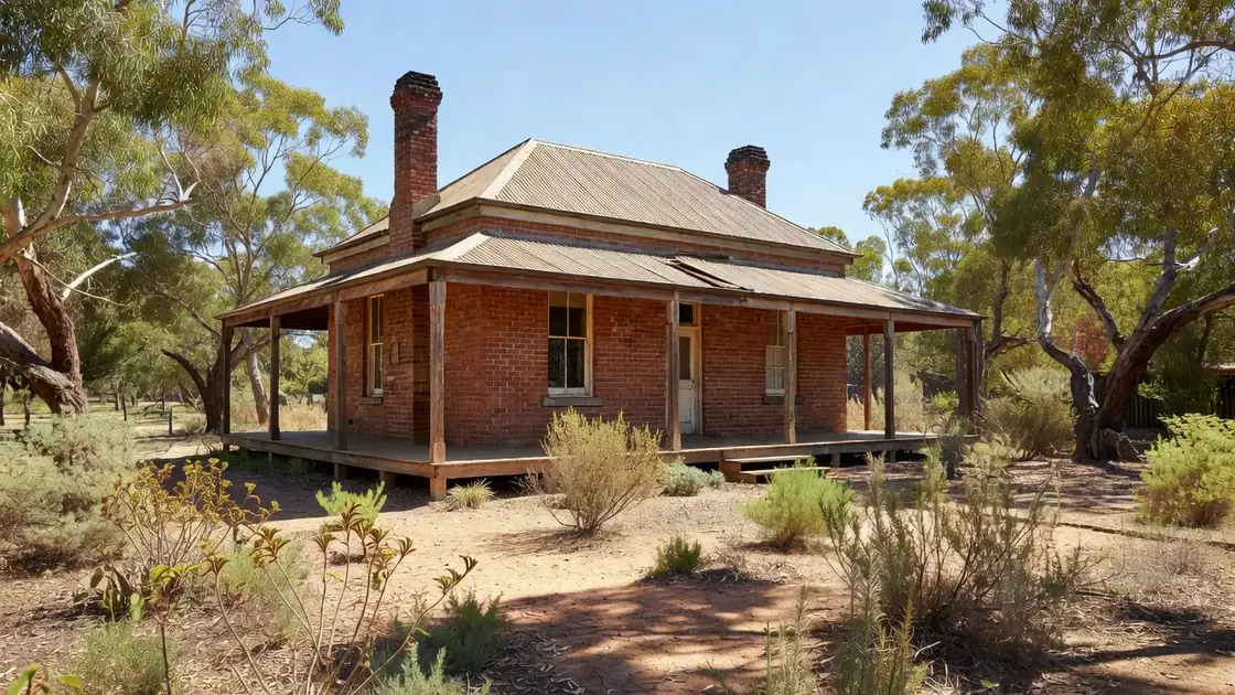
Guildford's colonial brick and rammed-earth walls sit beside the Swan River, and part of the suburb is mapped floodplain. After high water the ground under a house there can stay charged for weeks, not hours. Rising damp and flood residue look similar on a wall and need different fixes, and telling them apart is most of the value of an assessment here.
A flooded wall is saturated all at once, through its whole height, and then dries from both faces. Rising damp arrives continuously from below and stops at a level. A house can have both, and the flood history matters because repeated saturation loads the masonry with salt that stays behind long after the water has gone. Knowing which is which decides whether the answer is drying and replastering or interrupting a path.
The WA floodplain mapping tool shows modelled flood extents for the Swan and its tributaries.
A listing limits what can be cut, drilled, rendered or replaced on a facade, so the treatment leans toward injected courses and breathable lime finishes rather than anything that changes the appearance of the masonry. That is usually the better technical answer as well as the permitted one, because lime lets the wall keep drying through its face. It does mean approvals form part of the timeline, and that should be in a quote rather than discovered halfway through.
| Ground level within 250 m | 2 to 13 m above sea level (approx.) |
|---|---|
| Ground level at the centre | about 11 m |
| Indian Ocean coast (salt air) | about 20.3 km from the centre, straight line |
| Nearest river | Swan River, about 0.4 km from the centre, straight line |
| Perth CBD | about 11.9 km, straight line |
| Streets inside the suburb | Meadow Street, Water Street, Terrace Road and Swan Street |
| Parks and reserves | Stirling Square, Spring Reserve and Fauntleroy Park |
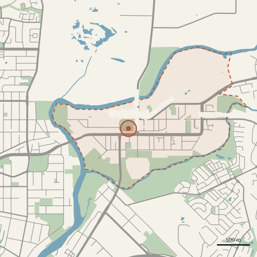
The Swan River is 0.4 km from the centre of Guildford, the closest river reading on this site. Flood history and rising damp have to be told apart before any work, and the WA floodplain mapping tool linked above shows whether one address is inside a modelled flood extent. At 20.3 km inland, salt in a Guildford wall came from the ground or from flood water, not the sea.
The six signs are on the inspection page, the order of the work on how it works, prices on the cost page and the measuring method on the about page.
Talk it through. Tell us what you're seeing — or what your building report said — and we'll book an on-site assessment ($450 plus GST) with a written diagnosis. A fixed quote follows the assessment.
We call you back to talk it through. Any work is quoted after we have assessed the wall.
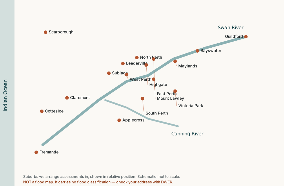
We carry out assessments across the Perth metropolitan area, including:
 Rising Damp Perth